
Week 03 · wayfinding
Redrawing the Route 7 map
The map at the Pell Street stop has twenty-three labels and four colours. I rode the route, watched people read it, and redrew it for someone who has never been to Calderbrook.
Skip to what I learned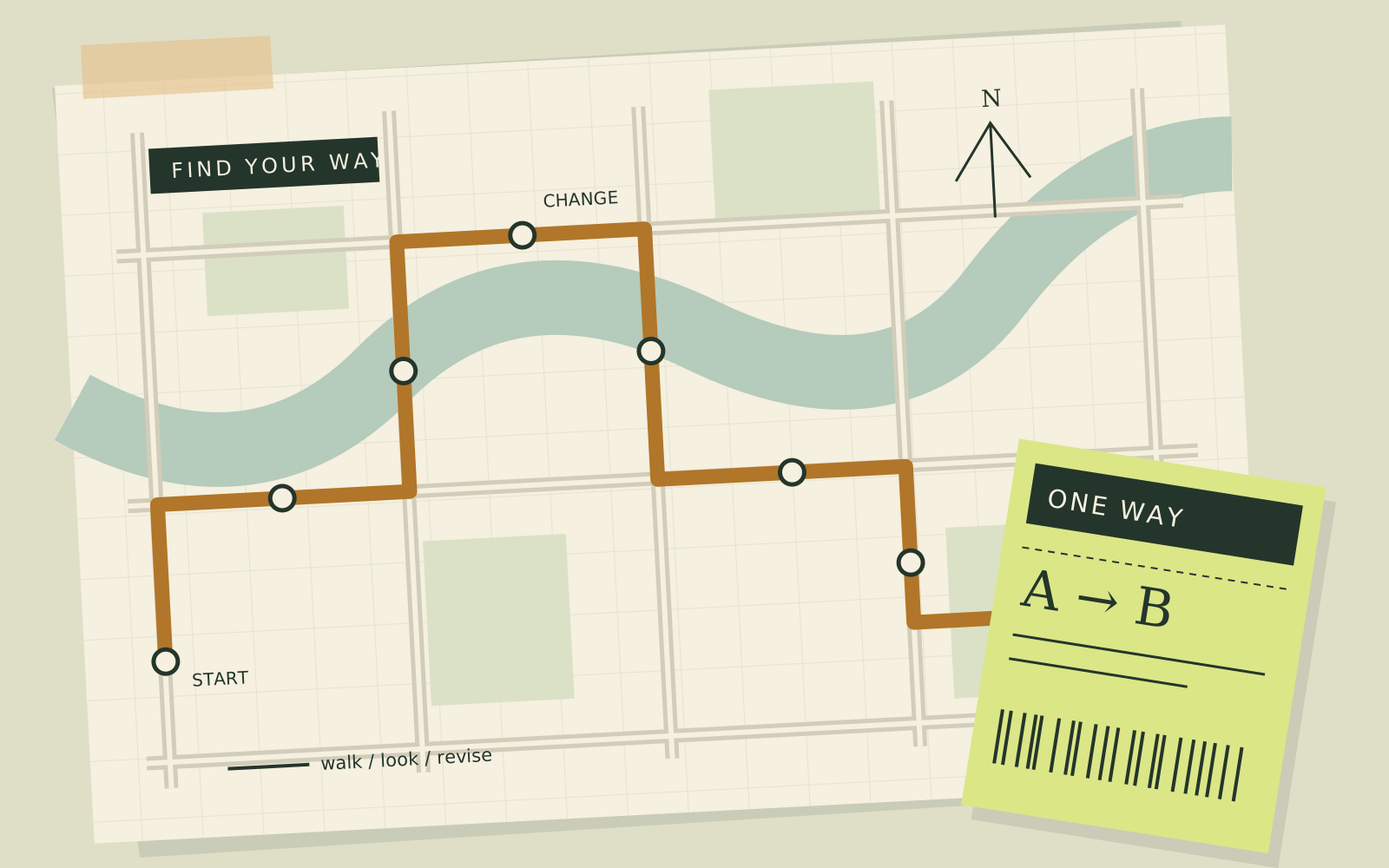
draft 3 of 5. the “change” label is still too small
The brief
Pick one sign in Calderbrook that makes people hesitate, and redesign it for a first-time visitor. I chose the Route 7 map because I watched a man read it for a full minute and then ask the driver anyway.
What I did
Monday: ride and count
I rode the full route with a stopwatch and tallied every time someone leaned in to read the stop display. Most were looking for a landmark: the clock tower, the big Co-op, the canal bridge.
Tuesday: three drafts
A geographic map, a straight strip map and a strip with landmark drawings. Tracing paper only, no screen until Wednesday morning.
Evidence: six classmates found “Canal Bridge” on each draft while I timed them. The strip map with landmarks won every time.
Before and after
Average time to find Canal Bridge. Twenty-three labels, four line colours, north at an angle.
Eleven labels, one line, five drawn landmarks and a large “you are here”.
Six people is not a study. It is enough to tell me which draft to keep working on.
Reflection
What I learned / what I would change
What I learned
A map is read from “where am I?” outwards, not from the start of the line. Landmarks carry more than street names, and the reader’s own position has to be the loudest thing on the page.
What I would change
Test with people who don’t know Calderbrook; my classmates found the bridge partly from memory. Pin up two drafts at crit, not one, and cut the arrows before anyone has to ask.