A study of shade
Canopy &
the street.
How does tree cover relate to the air we walk through? A field study across the streets of Merewick.
Read the findings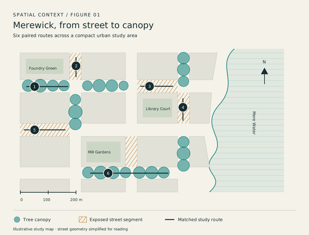
Shaded locations were 2.4°C cooler on average at midday in our sample.
Abstract
A small study.
A useful question.
This MSc project examines the association between street-tree canopy and pedestrian air temperature in Merewick. Paired sun and shade readings were collected along six walking routes over three clear afternoons. Shaded locations were cooler on average, with the largest difference at midday. The small sample, weather window and non-random site selection limit generalisation. The study offers a repeatable field protocol, rather than a causal estimate of tree cooling.
Read the paper summaryStudy scope
At walking height.
Walking routes
across Merewick
Clear afternoons
in the field
Sensor height
above the pavement
Read the project
From pavement
to plot.
The method before the claim. The people behind the work. The files to inspect it yourself.
Context & notes
Check the source.
- Project field protocol. Aldersey & Rill, 2026. Sampling and measurement notes.
- Illustrative route-level observations, not an open municipal dataset. Dataset and variable definitions.
- Limitations travel with the finding. Weather window and site selection.
The evidence, in view
Look at the figures.
Read the observations alongside the method, uncertainty and limits.